Software

Author / Co-Author
rJavaEnv 
![]()
![]()

![]()
![]()

rJavaEnv: ‘Java’ Environments for R Projects
rJavaEnv is an R package to install specific version of Java runtime environment at the R project level and to manage multiple Java environments between projects.
Package homepage: ekotov.pro/rJavaEnv/
GitHub repo: github.com/e-kotov/rJavaEnv

spanishoddata 
![]()
![]()
![]()
![]()
![]()

spanishoddata - an R package to access Spanish open origin-destination matrices data based on mobile network data released by the Spanish government. In collaboration with Robin Lovelace and Eugeni Vidal-Tortosa.
Package homepage: rOpenSpain.github.io/spanishoddata/
GitHub repo: github.com/rOpenSpain/spanishoddata
Paper: Kotov, E., Vidal-Tortosa, E., Cantú-Ros, O. G., Burrieza-Galán, J., Herranz, R., Gullón Muñoz-Repiso, T., & Lovelace, R. (2026). spanishoddata: A package for accessing and working with Spanish Open Mobility Big Data. Environment and Planning B: Urban Analytics and City Science.

spanishoddatais featured as one of the alternative ways to access open human mobility data on the official website of the Ministry of Transport and Sustainable Mobility of Spain.Workshop materials for Analysing massive open human mobility data using spanishoddata, duckdb and flowmaps at Applied Geoinformatics (AGIT) Conference 2025. Salzburg, Austria.

Tutorial materials for Mobility Flows and Accessibility Using R and Big Open Data at IC2S2 (11th International Conference on Computational Social Science), Norrköping, Sweden. In collaboration with Johannes Mast.

Featured in DuckDB Library.

rdocdump 
![]()
![]()
![]()
![]()

Use rdocdump to dump source code, documentation and vignettes of R packages into a single file. Supports installed packages, tar.gz archives, and package source directories. If the package is not installed, its source is automatically downloaded from CRAN for processing. The output is a single plain text file or a ‘character’ vector, which is useful to ingest complete package documentation into a large language model (‘LLM’) or pass it further to other tools, such as ragnar to create a Retrieval-Augmented Generation (RAG) workflow.
Package homepage: ekotov.pro/rdocdump/
GitHub repo: github.com/e-kotov/rdocdump

r5rgui 
![]()
![]()
![]()
![]()
The goal of {r5rgui} is to allow the user to interactively explore routes calcualted with {r5r} package in a Shiny app, e.g. for troubleshooting routing problems.
Package homepage: ekotov.pro/r5rgui/
GitHub repo: github.com/e-kotov/r5rgui

ducksf 
![]()
![]()

Faster spatial processing for R using {DuckDB} backend (project merged into duckspatial). Areal-weighted interpolation is 9-30 times faster than with {sf}`/{areal} packages.
Package homepage: ekotov.pro/ducksf/
GitHub repo: github.com/e-kotov/ducksf
Artifact:
{geosareal}package for areal-weighted interpolation using{geos}R package as a backend. It is also quite fast.

gridmaker 
![]()
![]()

Creates Eurostat GISCO-compatible and INSPIRE-compliant grids with IDs that look like ‘CRS3035RES1000mN3497000E4448000’ or ‘1kmN3497E4447’. Input can be sf, sfc objects or bounding boxes. Output can be sf polygons, sf centroids, or just data.frame with grid cell center or bottom left corner coordinates. The resulting grids are always aligned to rounded coordinates as per INSPIRE requirements.
Package homepage: ekotov.pro/gridmaker/
GitHub repo: github.com/e-kotov/gridmaker

osrm.backend 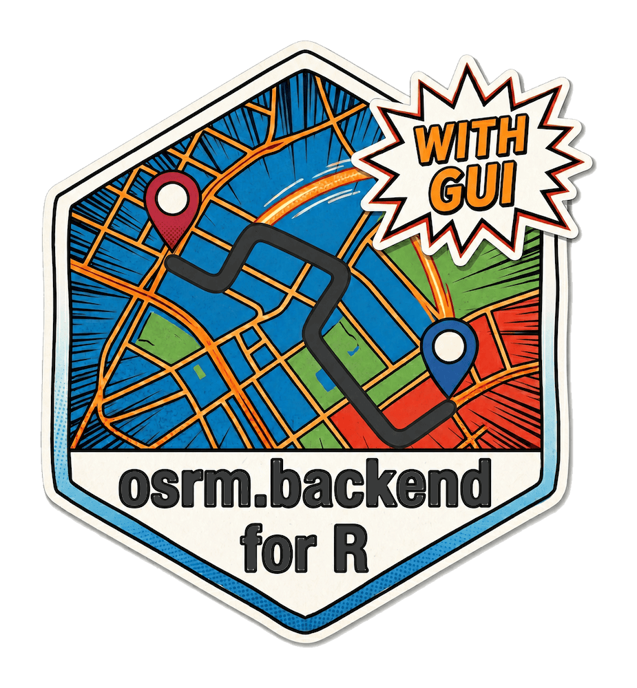
![]()
![]()
![]()

Install and control Open Source Routing Machine (OSRM) backend executables to prepare routing data and run/stop a local OSRM server. Also comes with a GUI. For computations with the running server use the ‘{osrm}’ R package.
Package homepage: ekotov.pro/osrm.backend/
GitHub repo: github.com/e-kotov/osrm.backend

mapineqr

![]()
![]()
The goal of mapineqr R package is to access the inequality indicators from the Mapineq.org API and dashboard (product of the Mapineq proejct).
Package homepage: ekotov.pro/mapineqr/
GitHub repo: github.com/e-kotov/mapineqr

mapineqpy
![]()
The goal of mapineqpy Python module is to access the inequality indicators from the Mapineq.org API and dashboard (product of the Mapineq proejct).
- Python Module GitHub repo: github.com/e-kotov/mapineqpy

alboFr
![]()
![]()
![]()
alboFr: Get French Data on Tiger Mosquito Colonisation
Package homepage: ekotov.pro/alboFr/
GitHub repo: github.com/e-kotov/alboFr

wikimapR
wikimapR, an R package for importing Wikimapia data as Simple Features via API
Package homepage: ekotov.pro/wikimapR/
GitHub repo: github.com/e-kotov/wikimapR

wikimapR is an R package for accessing the raw vector data from Wikimapia via official Wikimapia API. Map data is returned as Simple Features (sf) objects with some of the object details included as nested lists.
Maintainer
flowmapblue 
![]()
![]()
This is a Flowmap.blue widget for R developed by Ilya Boyandin. It produces an interactive flow map representing numbers of movements between locations (origin-destination data). I act as a maintainer of the package.

Package homepage: flowmapblue.github.io/flowmapblue.R/
GitHub repo: github.com/FlowmapBlue/flowmapblue.R

layer 
![]()
![]()
The goal of layer is to simplify the whole process of creating stacked tilted maps, that are often used in scientific publications to show different environmental layers for a geographical region. Tilting maps and layering them allows to easily draw visual correlations between these environmental layers. Originally developed by Marco Sciaini and Cédric Scherer.
Package homepage: marcosci.github.io/layer/
GitHub repo: github.com/marcosci/layer
Significant Contributor
duckspatial 
duckspatial 
DuckDB and its Spatial extension while maintaining compatibility with R’s spatial data ecosystem to work with spatial vector data.
Collaboration: Adrián Cidre, Rafael H. M. Pereira, Egor Kotov
cartogram
cartogram 
Implemented parallel processing of cartograms to speed up computation for large datasets.
Added progress bar to provide visual feedback and estimated processing time.
rang 
rang 
Major feature addition - support for Apptainer/Singularity images.
Minor package improvements.
rosmium
rosmium 
- Implemented time filter.
gridsample
gridsample 
Refactoring the package to drop dependencies on the deprecated
rgdal,rgeos, andmaptoolspackages, making it eligible for restoration to CRAN.Fixing errors preventing package functioning as intended.
See all contributions to gridsample
- Related publication: Kotov, E., & Deneke, E. (2024). Expanding the Lifespan of Software for Demographic Analysis with Containers: An Application of Spatial Sampling. The Denominator. Population Dynamics Lab.

Fork of zotero-sharelatex-cayw
zotero-sharelatex-cayw 
Minor Contributor
r5r
r5r 
R package for rapid realistic routing on multimodal transport networks (walk, bike, public transport and car). It provides a simple and friendly interface to R5, the Rapid Realistic Routing on Real-world and Reimagined networks, the routing engine developed independently by Conveyal.
- New features.
esri2sf
esri2sf 
- Bug fixes.
MicroDatosEs
MicroDatosEs 
- Bug fixes, see pull requests.
geofacet
geofacet 
- Bug fixes.
layer
layer 
- Bug fixes, see pull requests.
OpenTripPlanner
OpenTripPlanner 
- Fixed/added a minor feature.
PlaceSyntaxTool
PlaceSyntaxTool 
- Bug fixes, see pull requests.
Various pet projects
rewe-ebon-parser python module
![]()


rewe-ebon-parser - a python module to parse REWE eBons (digital receipts) from PDF files and convert them into structured JSON format or CSV
Package homepage: ekotov.pro/rewe-ebon-parser/
GitHub repo: github.com/e-kotov/rewe-ebon-parser
